
Population 474 (2006) | Local time Saturday 12:17 AM | |
 | ||
Weather 18°C, Wind W at 10 km/h, 92% Humidity | ||
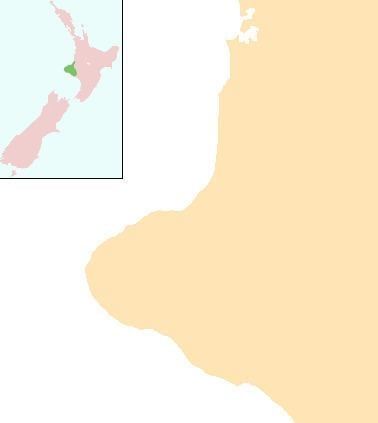
Omata is a locality in Taranaki, in the western North Island of New Zealand. It is located on State Highway 45 just southwest of New Plymouth.
Contents
Map of Omata 4374, New Zealand
The population was 474 in the 2006 Census, an increase of 27 from 2001.
The area was the site of the Omata Stockade, built to house soldiers during tensions at the time of the First Taranaki War in 1860–61, and is near the site of the Battle of Waireka on 28 March 1860.
Education
Omata School is a coeducational full primary (years 1–8) school with a decile rating of 8 and a roll of 147. In 2003, the school celebrated its 150th jubilee.
Omata electorate
Omata was an electorate for the New Zealand House of Representatives from 1853 to 1870. Seven Members of Parliament represented the electorate in the 1st to 4th Parliament of New Zealand.