
3-digit postal code prefix 270 | Time zone WAT (UTC+1) Area 1,667 km² | |
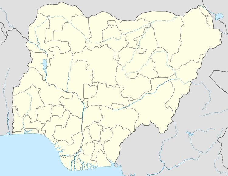 | ||
Omala is a Local Government Area in Kogi State, Nigeria bounded in the north by the Benue River. Its headquarters are in the town of Abejukolo (or Abajikolo) in the north of the area at7°43′N 7°33′E.
The northeasterly line of equal latitude and longitude passes through the southeast of the LGA.
It has an area of 1,667 km² and a population of 108,402 at the 2006 census.
The postal code of the area is 270.
References
Omala, Nigeria Wikipedia(Text) CC BY-SA