
Area 8,259 km² | Established 1994 | |
 | ||
Governing body | ||
Master s in action olympic coast national marine sanctuary
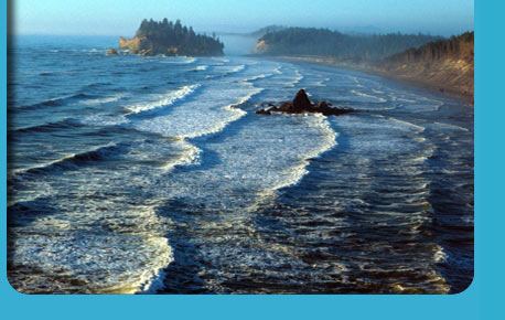
The Olympic Coast National Marine Sanctuary is one of 14 marine sanctuaries administered by the National Oceanic and Atmospheric Administration (NOAA), an agency of the U.S. Department of Commerce. It is located along the Olympic Peninsula of Washington state. The sanctuary was declared in 1994 and encompasses 3,189 square miles (8,260 km2) of the Pacific Ocean from Cape Flattery in the north, to the mouth of the Copalis River, a distance of about 162.5 miles (261.5 km). Extending 25 to 40 miles (40 to 64 km) from the shore, it includes most of the continental shelf, as well as parts of three important submarine canyons, the Nitinat Canyon, the Quinault Canyon and the Juan de Fuca Canyon. For 64 miles (103 km) along the coast, the sanctuary shares stewardship with the Olympic National Park. The sanctuary overlays the Flattery Rocks, Quillayute Needles, and Copalis Rock National Wildlife Refuges.
Contents
- Master s in action olympic coast national marine sanctuary
- Map of Olympic Coast National Marine Sanctuary Washington USA
- References