
Lowest elevation 655 m (2,149 ft) Postal code 502 00 Local time Friday 10:02 AM | Highest elevation 680 m (2,230 ft) Time zone EET (UTC+2) Area code(s) +30-2463-xxx-xxx | |
 | ||
Weather 17°C, Wind S at 2 km/h, 62% Humidity | ||
Olympiada (Greek: Ολυμπιάδα), known before 1927 as Rakita (Greek: Ρακίτα), is a village and a community of the Eordaia municipality. Before the 2011 local government reform it was part of the municipality of Ptolemaida, of which it was a municipal district. The 2011 census recorded 614 inhabitants in the village.
Contents
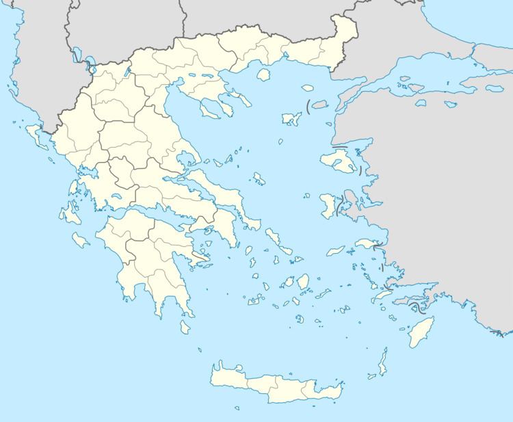
Map of Olympiada 502 00, Greece
History
Olympiada was first mentioned in an Ottoman defter of 1481, the village, then known as Rakita, had forty-five households and produced vines, honey, and swine.
References
Olympiada, Kozani Wikipedia(Text) CC BY-SA