
Urban-type settlements 4 Area 6,270 km² | Rural localities 30 | |
 | ||
Municipally incorporated as | ||
Olovyanninsky District (Russian: Оловяннинский райо́н) is an administrative and municipal district (raion), one of the thirty-one in Zabaykalsky Krai, Russia. It is located in the south of the krai, and borders with Baleysky District in the north, Borzinsky District in the south, and with Mogoytuysky District in the west. The area of the district is 6,300 square kilometers (2,400 sq mi). Its administrative center is the urban locality (an urban-type settlement) of Olovyannaya. Population: 43,494 (2010 Census); 49,426 (2002 Census); 60,810 (1989 Census). The population of Olovyannaya accounts for 19.3% of the district's total population.
Contents
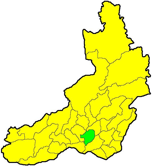
Map of Olovyanninskiy r-n, Zabaykalsky Krai, Russia
History
The district was established on January 4, 1926.
References
Olovyanninsky District Wikipedia(Text) CC BY-SA