
Coat of arms Flag Cities/towns 1 Area 3,988 km² | Rural localities 64 Founded 29 August 1927 | |
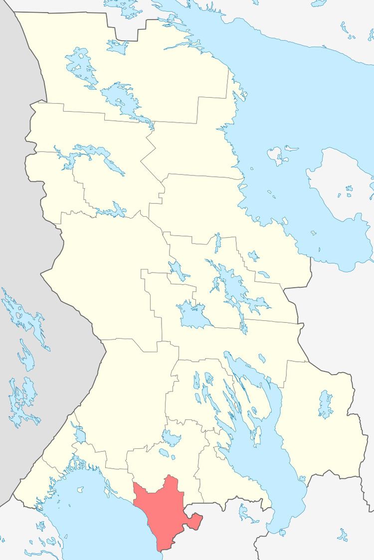 | ||
Olonetsky District (Russian: Оло́нецкий райо́н; Karelian: Anuksen piiri) is an administrative district (raion), one of the fifteen in the Republic of Karelia, Russia. It is located in the south of the republic. The area of the district is 3,988 square kilometers (1,540 sq mi). Its administrative center is the town of Olonets. As of the 2010 Census, the total population of the district was 23,124, with the population of Olonets accounting for 39.2% of that number.
Contents
- Map of Olonetsky District Republic of Karelia Russia
- Administrative and municipal status
- Demographics
- References
Map of Olonetsky District, Republic of Karelia, Russia
Administrative and municipal status
Within the framework of administrative divisions, Olonetsky District is one of the fifteen in the Republic of Karelia and has administrative jurisdiction over one town (Olonets) and sixty-four rural localities. As a municipal division, the district is incorporated as Olonetsky Municipal District. The town of Olonets and eight rural localities are incorporated into an urban settlement, while the remaining fifty-six rural localities are incorporated into eight rural settlements within the municipal district. The town of Olonets serves as the administrative center of both the administrative and municipal district.
Demographics
Olonetsky District is the only district in the republic where Karelians form a majority of the population (63.4% in 1989). Natural population growth rate was -12.02 per 1,000 in 1994.