
Local time Friday 3:59 AM | Subregion Dão-Lafões Parishes 8 Area 145.4 km² Population 10,261 (2011) | |
 | ||
Weather 1°C, Wind E at 3 km/h, 100% Humidity | ||
Oliveira de Frades ([oliˈvɐjɾɐ ðɨ ˈfɾaðɨʃ]) is a municipality in the district Viseu in Portugal. The population in 2011 was 10,261, in an area of 145.35 km².
Contents
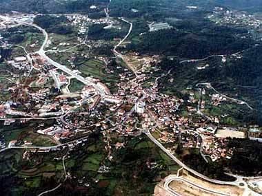
Map of Oliveira de Frades, Portugal
The municipality was created in 1836 by splitting the former municipality Lafões into the current municipalities of Oliveira de Frades, Sao Pedro do Sul and Vouzela.
It is one of the few municipalities in Portugal without territorial continuity (the other being Montijo and Vila Real de Santo António): its territory comprehends two parts, with the town of Oliveira de Frades located in the bigger part, and Arca e Varzielas in the smaller part.
The present mayor is Luís Manuel Martins Vasconcelos, elected by the Social Democratic Party. The municipal holiday is October 7.
Parishes
Administratively, the municipality is divided into 8 civil parishes (freguesias):