
Postal code 270 64 Website www.oleni.gov.gr Local time Friday 3:14 AM Regional unit Elis | Time zone EET (UTC+2) Vehicle registration ΗΑ Elevation 240 m Area code 26210 | |
 | ||
Weather 11°C, Wind NE at 3 km/h, 69% Humidity | ||
Oleni (Greek: Ωλένη) is a village and a former municipality in Elis, West Greece, Greece.
Contents
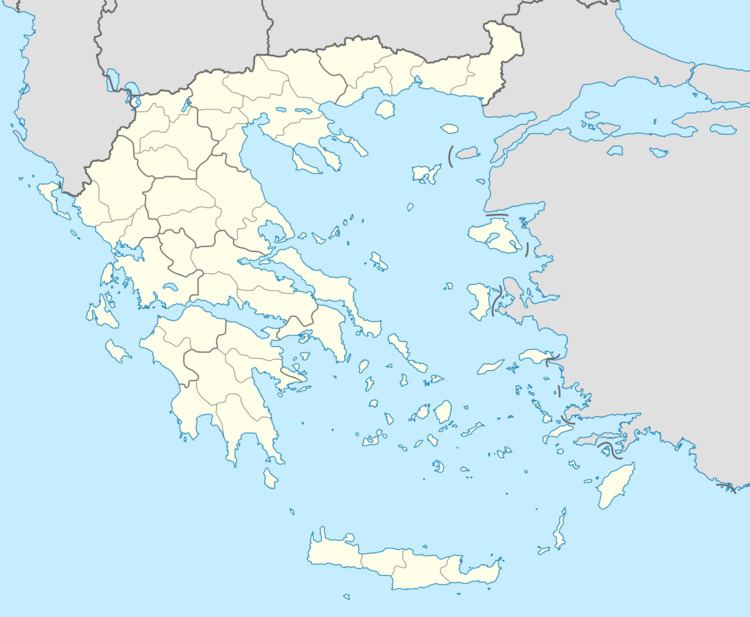
Map of Oleni 270 64, Greece
Since the 2011 local government reform it is part of the municipality Pyrgos, of which it is a municipal unit. The municipal unit has an area of 152.231 km2. The seat of the municipality was in Karatoula.
The municipal unit was named after the ruined medieval town Olena, which also gave its name to the Bishopric of Olena. It consists of a wide valley around Karatoula and Magoula, and the hills west and east of the valley. It is located about 10 km northeast of Pyrgos, 13 km northwest of Olympia and 20 km southeast of Amaliada. The largest community is Goumero. The ancient town Amphidolis was located near present Karatoula.
Subdivisions
The municipal unit Oleni is subdivided into the following communities (constituent villages in brackets):