
OS grid reference NC088345 Population 0 | Area rank 109 Area 200 ha Lieutenancy area Highland | |
 | ||
Highest elevation Sidhean nan Ealachan 104 m Island groups British Isles, Inner Hebrides | ||
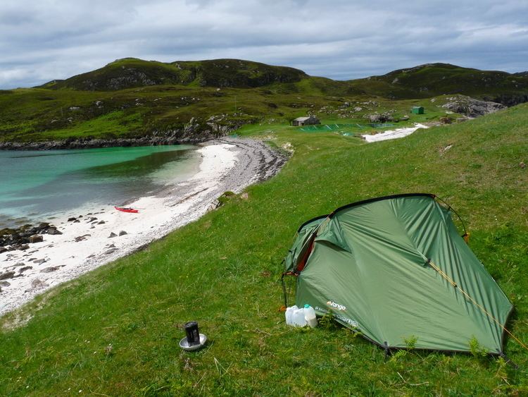
Oldany Island (formerly Oldney Island) is an uninhabited island in Assynt, Sutherland, north-west Scotland.
Contents
Map of Oldany Island, Lairg, UK
The name is Norse in origin.
GeographyEdit
Oldany Island is a large tidal island at the southwestern entrance to Eddrachillis Bay/Kylesku. It has an area of 200 hectares (500 acres) and its highest point is Sìdhean nan Ealachan (The Swans' Fairy Mound) at 104 metres (341 ft). Handa Island is to the north, across Eddrachillis Bay; Eilean Chrona is to the south west and Sgeir nan Gall (Norsemen's Skerry) is to the north. The island is part of the Assynt-Coigach National Scenic Area, one of 40 in Scotland.
The settlement of Oldany is on the adjacent mainland. The island has long been used for grazing sheep. Oldany island is owned by the Turner family.
References
Oldany Island Wikipedia(Text) CC BY-SA