Local time Thursday 7:45 AM | Area code(s) 250, 778 | |
 | ||
Weather 1°C, Wind W at 5 km/h, 82% Humidity | ||
Flooding in olalla british columbia
Olalla is an unincorporated settlement in the South Okanagan region of the Southern Interior of British Columbia, Canada, located southwest of Penticton (the nearest large city) and just north of Keremeos. Kaleden, just northeast beyond Olalla along BC Highway 3A, occupies the pass dividing the Okanagan Valley beyond and the Similkameen Country of which Olalla is a part.
Contents
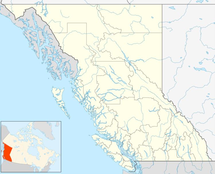
Map of Olalla, BC, Canada
Like most of the Okanagan, Olalla is a retirement community.
School
Many of the people in Olalla attend Similkameen Elementary Secondary School in Keremeos.
Name
Olalla's name is a local adaptation of the Salish and Chinook word for "berries". The word is listed as olallie or ollalie in many Chinook Jargon lexicons.
References
Olalla, British Columbia Wikipedia(Text) CC BY-SA
