Country United States Local time Thursday 10:33 AM | Time zone Eastern (EST) (UTC-5) | |
 | ||
Weather 12°C, Wind E at 19 km/h, 57% Humidity | ||
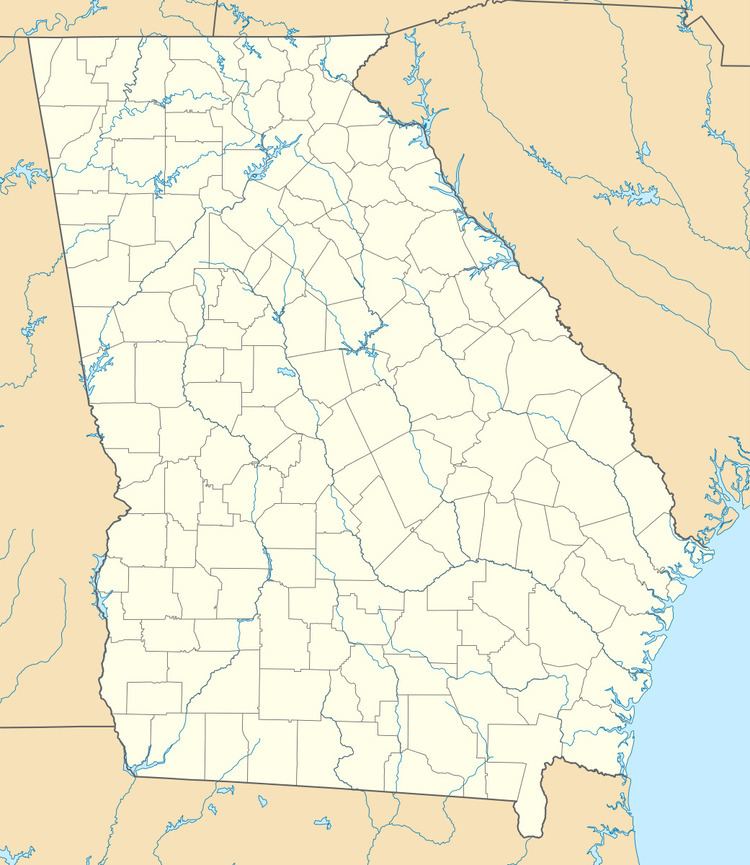
Ola is an unincorporated community in Henry County, Georgia, United States. Ola is within the postal limits of McDonough, Georgia and as such, most residents list McDonough as their city.
Contents
Map of Ola, GA 30252, USA
History
During Gen. William T. Sherman's "March to the Sea", Union forces passed through Henry County, Georgia. In the community of Ola, church buildings were reportedly used by Union troops as slaughterhouses and some cemeteries in the Ola area were desecrated.
The Ola community can be traced back to its religious roots at Sardis Baptist Church (1823), Sharon Baptist Church (1824) and Mt. Bethel Methodist organized in 1833. A farming community growing fields of cotton, several general stores interspersed at various crossroads, and feed/grain mills represented the Ola of long ago. One-room schoolhouses met the early educational needs of the children.
The Ola School with two frame buildings was torn down and replaced by the J.B. Henderson Elementary School in 1954. J.B. Henderson is a staple in the culture of the Ola community and the building is now used as a Special Education school.
Today, many businesses call Ola home, such as restaurants, convenience stores, a discount retailer, service businesses, etc.
Geography
Ola is located at 33°26′07″N 84°02′30″W (33.43527, -84.04156).
Major highways
Demographics
Ola is within the postal limits of McDonough, Georgia and as such, most residents list McDonough as their city.
