
Elevation 445 m Local time Thursday 2:29 PM | Time zone CET (UTC+1) Area 10.43 km² Population 265 (2011) | |
 | ||
Weather 8°C, Wind NE at 3 km/h, 82% Humidity | ||
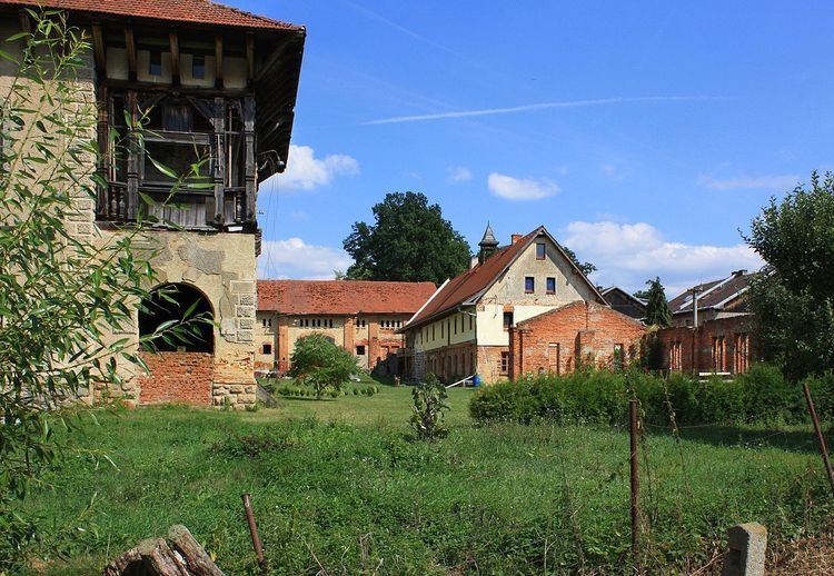
Okrouhlá is a village and municipality in Cheb District in the Karlovy Vary Region of the Czech Republic. It is located 33 kilometres (21 mi) southwest of Karlovy Vary and 140 kilometres (87 mi) west of Prague.
Map of 350 02 Okrouhl%C3%A1, Czechia
The municipality covers an area of 10.43 square kilometres (4.03 sq mi) and as of 2008 it had a population of 245. The first written record dates back to 1299.
References
Okrouhlá (Cheb District) Wikipedia(Text) CC BY-SA