
Existed: 1932 – present Length 149.7 km | Constructed 1932 | |
 | ||
East end: US-270 Bus. / SH-56 in Wewoka | ||
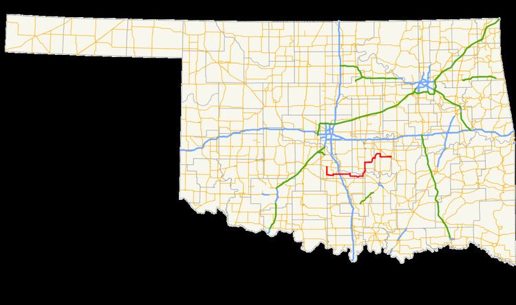
State Highway 59, abbreviated SH-59, is a 93-mile (150 km) state highway in central Oklahoma. It runs from Criner, Oklahoma in McClain Co. to Wewoka.
Contents
Map of OK-59, Oklahoma, USA
Route description
SH-59 begins at SH-39 north of Criner and immediately heads due south through that town. It turns due east six miles (9.6 km) north of Lindsay, serving Payne instead. After a one-mile (1.6 km) concurrency with SH-24, SH-59 crosses SH-74 and has an interchange with I-35.
Shortly after passing under the interstate, it meets US-77 south of Wayne, and passes through the small towns of Rosedale and Byars. Five miles (8 km) east of Byars, it meets U.S. Highway 177 and turns northward to join with it. SH-3W joins the concurrency five miles later.
The three highways cross over the South Canadian River to enter Pottawatomie Co. just south of Asher. In Asher, SH-59 meets SH-39 a second time, and six miles (10 km) later it splits off from US-177 and SH-3W to head east again, through St. Louis, Oklahoma and Maud. It forms a concurrency with US-377/SH-99/SH-3E south of Seminole, before splitting off near Bowlegs. It meets US-270 west of Wewoka, and then ends two miles (3 km) later.
History
SH-59 was first added to the state highway system in 1932 and was entirely contained within McClain County, running from Wayne to State Highway 18 (present-day US-177). It was extended eastward to end at SH-48 (present-day US-377/SH-99) north of Bowlegs in 1947 or 1948. It was extended to its present eastern terminus in 1965 or 1966, and no significant changes have been made since.
SH-59A
SH-59A runs from US-177/SH-59 east to connect with SH-3W south of SH-59's own connection with the highway. This allows eastbound travelers to more easily access Ada. It is 5.27 miles (8.48 km) long.
SH-59B
SH-59B runs from SH-59 south to connect with SH-19 just east of Lindsay. It is 5.69 miles (9.16 km) long.
SH-59B
A second SH-59B runs east from SH-102 through Macomb, ending at US-177 / SH-3W north of Asher, a distance of 6.93 miles (11.15 km). The highway's entire length lies in Pottawatomie County. SH-59B does not directly connect to SH-59.