
Length 64.2 km | East end: SH-54 in Lake Valley | |
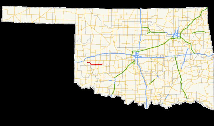 | ||
State Highway 55 is a state highway in western Oklahoma. It runs for 39.9 miles (64.2 km) from Carter, Oklahoma to the unincorporated community of Lake Valley. It has no lettered spur routes.
Contents
Map of OK-55, Oklahoma, USA
Route description
SH-55 begins at State Highway 34 in Carter, in eastern Beckham Co.. It heads east for six miles (10 km), where it meets State Highway 6 and overlaps it to the south. After running along the Beckham/Washita Co. line, it splits off to the east near Retrop. It then meets State Highway 44 in Sentinel. Seven miles later it meets US-183 in Rocky. It then terminates at State Highway 54 in Lake Valley.
References
Oklahoma State Highway 55 Wikipedia(Text) CC BY-SA