
Length 79.3 km | ||
 | ||
South end: US-60 / US-283 / SH-51 in Arnett | ||
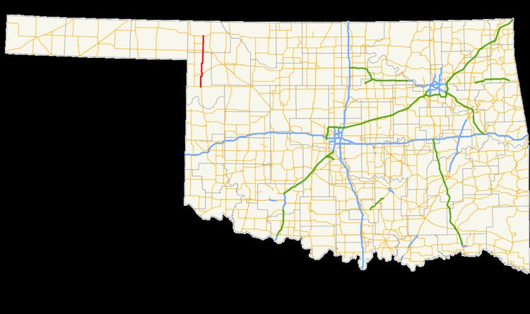
State Highway 46 (abbreviated SH-46) is a state highway in northwest Oklahoma. It runs 49.3 miles (79.3 km) south-to-north in Ellis and Harper Counties.
Contents
Map of OK-46, Oklahoma, USA
Route description
SH-46 begins at US-60/US-283/SH-51 on the west side of Arnett. The road runs north 13 miles (21 km) to the junction of SH-15 at Gage, then continues another 22 miles (35 km) to May, where it crosses US-270/US-412/SH-3.
Three miles north of May, SH-46 crosses the North Canadian River, and 4 miles (6.4 km) after that, SH-149 branches off to the west, connecting to the town of Laverne. Seven miles later, SH-46 ends at US-64, 8 miles (13 km) west of Buffalo.
References
Oklahoma State Highway 46 Wikipedia(Text) CC BY-SA