
Length 110.1 km | ||
 | ||
West end: US-169 south of Delaware | ||
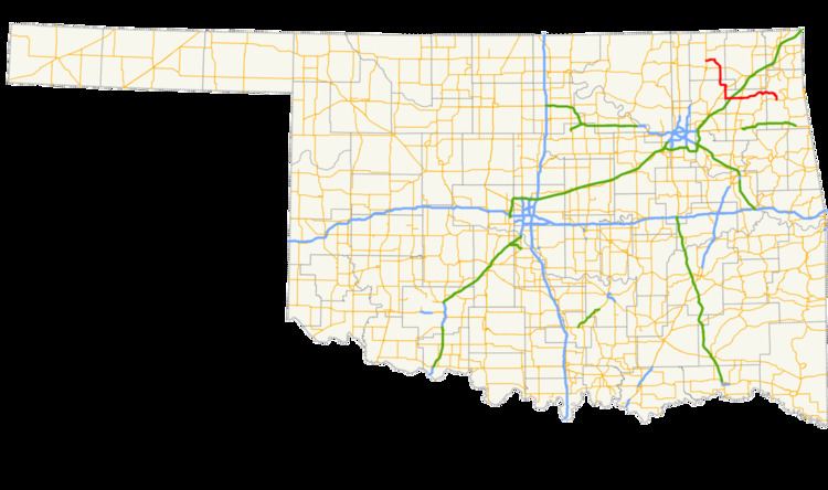
State Highway 28 (abbreviated SH-28) is a state highway in Oklahoma. It runs 68.4 miles (110.1 km) in an irregular west-to-east pattern through Nowata, Rogers, Mayes and Delaware counties.
Contents
Map of OK-28, Oklahoma, USA
There is one letter-suffixed spur highway branching from SH-28, SH-28A.
Route description
SH-28 begins at US-169 just south of Delaware. From there it travels 12 miles (19 km) east-to-south, passing the community of Childers, to a junction with US-60.
Crossing US-60, SH-28 runs six miles (10 km) due south to New Alluwe, then eight miles (13 km) south and east to Chelsea, where it intersects SH-66.
From Chelsea, it is six miles (10 km) straight south to the junction with SH-28A, where SH-28 turns due east, intersects with I-44 after four miles (6 km), and five miles (8 km) farther crosses US-69 at Adair.
Upon leaving Adair, SH-28 runs mainly east, eight miles (13 km) to Pensacola, then follows the arc of the Neosho River to the SH-82 junction outside of Langley. SH-28 crosses SH-82, then passes through Langley before crossing the Neosho River over Pensacola Dam into the town of Disney.
SH-28 then travels east to south 12 miles (19 km) to its terminus at SH-20, five miles (8 km) west of Jay.
SH-28A
SH-28A is SH-28's only spur, lying entirely in Rogers Co. It runs 4.56 miles (7.34 km) west-to-east connecting SH-66 in Foyil with SH-28.