
Existed: ca. 1982 – present Length 5 km | ||
 | ||
East end: US-77 south of Wynnewood | ||
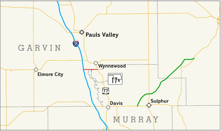
State Highway 17A (SH-17A) is a 3.10-mile (4.99 km) long long state highway in south-central Oklahoma. It connects Interstate 35 (I-35) to U.S. Route 77 (US-77) near Wynnewood. It does not connect to its implied parent, State Highway 17.
Contents
Map of OK-17A, Wynnewood, OK 73098, USA
SH-17A was established around 1982, and has always had the same route.
Route description
SH-17A begins at I-35 exit 64, a diamond interchange, in unincorporated Garvin County west-southwest of Wynnewood. The highway continues due east from this interchange. SH-17A crosses the Washita River midway through its route. East of the Washita River bridge, the road runs along the Garvin–Murray county line—land north of the highway belongs to Garvin County, while land south of the highway falls into Murray County. The route ends at an intersection with US-77 south of Wynnewood.
History
SH-17A first appeared on the 1983 official state map. The highway's route was identical to the present-day route; no changes have occurred since its commissioning.