
Length 13.18 km | ||
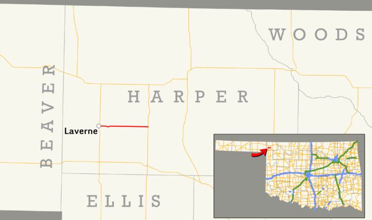 | ||
State Highway 149 (abbreviated SH-149) is a state highway in Oklahoma. It runs 8.19 miles (13.18 km) in Harper County, from US-283 in Laverne to SH-46, seven miles (11 km) north of May.
Contents
Map of OK-149, Laverne, OK 73848, USA
Route description
SH-149 begins at US-283 in Laverne. From this junction, the highway follows Main Street to the east out of town. The road dips gently to the south approximately one mile (1.6 km) east of Laverne before returning to its previous line of latitude. About two and a half miles (4.0 km) east of Laverne, the road crosses the Beaver River. SH-149 then continues due east to SH-46, where it ends.
Junction list
The entire route is in Harper County.
References
Oklahoma State Highway 149 Wikipedia(Text) CC BY-SA