
Country Nepal Time zone NPT (UTC+5:45) Zone Sagarmatha Zone | Area 1,074 km² | |
 | ||
Region Eastern Development Region, Nepal | ||
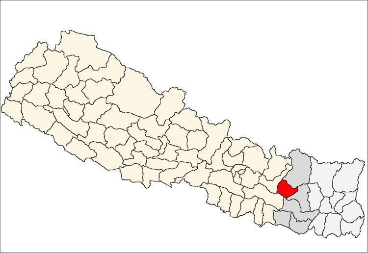
Okhaldhunga District (Nepali: ओखलढुङ्गा जिल्ला Listen ), a part of Province No. 1, is one of the seventy-five districts of Nepal, a landlocked country of South Asia. The district, with Okhaldhunga as its district headquarters, covers an area of 1,074.5 km² and had a population of 156,702 in 2001 and 147,984 in 2011. Okhaldhunga is part of area traditionally called Wallo Kirat (near Kirat), home to indigenous ethnic groups Rai and Sunuwar सुनुवार. Apart from these indigenous ethnic groups, other ethnics and hill castes live in the district.
Contents
Map of Okhaldhunga, Nepal
Village Development Committees
The district contains the following VDCs from 2017:
Sunkoshi, Likhu,Molung,Mane_Bhanjyang,Chisankhugadi,Champadevi,Khidemba
Municipality
Torist area
Khijee Tholedamba Tourist are attracted towards the beauty of Khiji Okhaldhung
References
Okhaldhunga District Wikipedia(Text) CC BY-SA