
Country Honduras Founded 1579 Area 260 km² | Department Francisco Morazán Climate Cwb | |
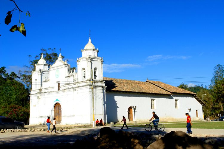 | ||
Ojojona is a municipality in the Honduran department of Francisco Morazán, located 34 km south of Tegucigalpa.
Contents
Map of Ojojona, Honduras
It was founded in 1579 by Spanish miners who worked the silver and gold mines of the area.
Location
The municipality has borders at north with the Central District, at south with the municipality of Reitoca and Sabanagrande, at the east with the municipalities of Santa Ana and Sabanagrande and at west with the municipalities of Reitoca and Lepaterique. It is situated in a small plateau in one of the hills of Cerro de Hule, at the base of the Payaguagre mountain.
Villages
The municipality has 12 recognized villages:
References
Ojojona Wikipedia(Text) CC BY-SA