
Municipal seat Ojinaga | ||
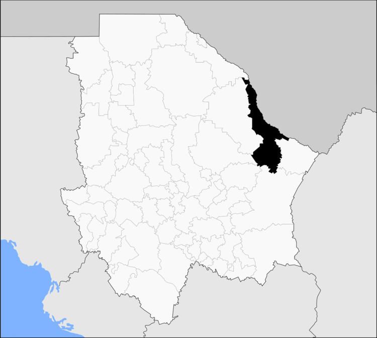 | ||
Ojinaga Municipality (formally: Manuel Ojinaga ) is one of the 67 municipalities of Chihuahua, in northern Mexico. The municipal seat lies at Ojinaga, a rural bordertown on the U.S.-Mexico border. The municipality has an area of 9,500.50 km² (3,668.16 sq mi).
Contents
- Map of Ojinaga Municipality Chihuahua Mexico
- Geography
- Towns and villages
- Adjacent municipalities and counties
- References
Map of Ojinaga Municipality, Chihuahua, Mexico
Geography
Ojinaga, named after Juarista governor Manuel Ojinaga, reported a 2010 census population of 22,744 people in the town, which serves as municipal seat of the municipality of 26,304 inhabitants. The municipality includes numerous very small outlying communities, the largest of which are El Oasis and Nueva Holanda.
Towns and villages
The municipality has 108 localities. The largest are:
Adjacent municipalities and counties
References
Ojinaga Municipality Wikipedia(Text) CC BY-SA