
Postal code 320 11 Elevation 61 m Area code 22620 | Time zone EET (UTC+2) Vehicle registration ΒΙ Local time Thursday 10:49 AM | |
 | ||
Weather 18°C, Wind W at 11 km/h, 36% Humidity | ||
Adventist help at at oinofyta refugee camp greece
Oinofyta (Greek: Οινόφυτα) is a village and former municipality in eastern Boeotia, Greece. Following the local government reform of 2011 it is now part of the municipality of Tanagra, of which it is a municipal unit. The municipal unit has an area of 77.273 km2, the community 18.643 km2.
Contents
- Adventist help at at oinofyta refugee camp greece
- Map of Oinofyta 320 11 Greece
- The refugee crisis in greece insight to the oinofyta refugee camp
- Subdivisions
- Pollution
- References
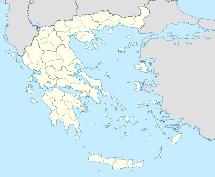
Map of Oinofyta 320 11, Greece
The refugee crisis in greece insight to the oinofyta refugee camp
Subdivisions
The municipal unit of Oinofyta is subdivided into the following communities (constituent villages in brackets):
Pollution
In December 2007, official tests revealed that drinking water in Oinofyta was contaminated with high levels of the carcinogen hexavalent chromium, which is used as an anti-corrosive in the production of stainless steel, paint, ink, plastics and dyes. For decades, factories had been dumping waste in the Asopos River, whose waters run from red to black and ripple with bubbling sludge.