
Vehicle registration ΤΚ | Time zone EET (UTC+2) Local time Thursday 9:48 AM | |
 | ||
Weather 16°C, Wind NE at 2 km/h, 58% Humidity | ||
Oichalia Greek: Οιχαλία, before 1981: Νεοχώρι - Neochori) is a town and a former municipality in the Trikala regional unit, Thessaly, Greece. Since the 2011 local government reform it is part of the municipality Farkadona, of which it is a municipal unit. The municipal unit has an area of 85.628 km2. In 2011 the population of the municipality was 4,781, the population of the town proper was 2,357. Oichalia is located 8 km west of Farkadona centre, and 20 km east of the city of Trikala. It is situated on the edge of the Thessalian Plain. The Greek National Road 6 (Larissa - Trikala - Ioannina - Igoumenitsa) passes south pf Oichalia.
Contents
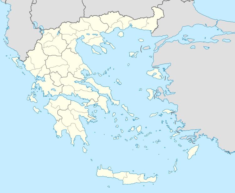
Map of Oichalia 423 00, Greece
Subdivisions
The municipal unit Oichalia is subdivided into the following communities:
References
Oichalia, Trikala Wikipedia(Text) CC BY-SA