
Elevation 533.4 m (1,750 ft) Area 50 km² | Peak Birkenberg | |
 | ||
Similar Alternativer Bärenpark Worbis, Eichsfeld‑Hainich‑Werratal Nature Park, Seeburger See, Hainich, Hanstein Castle | ||
The Ohm Hills (German: Ohmgebirge) are a small range of hills up to 533.4 m above sea level (NN) high and about 50 km² in area. They are part of the Lower Eichsfeld region and are located in the county of Eichsfeld, North Thuringia, Germany.
Contents
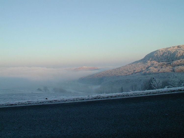
- Map of Ohmgebirge 37339 Leinefelde Worbis Germany
- GeographyEdit
- Natural region classificationEdit
- HillsEdit
- Rivers and streamsEdit
- SettlementsEdit
- References
Map of Ohmgebirge, 37339 Leinefelde-Worbis, Germany
GeographyEdit
The Ohm Hills, most of which are densely wooded, whose southeastern foothills form the Bleicherode Hills, lie in the county of Eichsfeld on its boundary with Nordhausen. They are located between Weißenborn-Lüderode to the north, Bleicherode to the southeast, Worbis to the south and Teistungen to the west, and extend from the upper reaches of the River Helme in the north to the Wipper in the south. To the north and west the range is adjoined by historic landscape of the Lower Eichsfeld (Untereichsfeld), further south is the ridge of the Dün and to the southwest the Eichsfeld-Hainich-Werra Valley Nature Park.
Natural region classificationEdit
According to "Kassel map" of the natural regional classification of Germany the Ohm Hills are grouped as follows:
The Thuringian State office for the Environment and Geology uses a rather coarser, self-published, region classification, within which the landscape of "Ohm Hills-Bleicherode Hills" is part of the landscape unit "North Thuringian Bunter Sandstone Land".
The muschelkalk ridges of the Ohm Hills and Bleicherode Hills are shown in both classifications as one contiguous natural region. They appear as a continuation of the hills fringing the northwestern perimeter of the Thuringian Basin interrupted only by the Lower Eichsfeld lowland.
Neighbouring natural regions listed clockwise are:
HillsEdit
The following hills and high points belong to the Ohm Hills in its narrower sense and its foothills to the north and east, which are considered part of neighbouring natural regions, with elevations in metres above sea level (NN):
Rivers and streamsEdit
The rivers and streams in the Ohm Hills include the:
The Elbe-Weser Watershed runs through the Ohm Hills. Whilst the Hahle is part of the catchment area of the Leine and Weser rivers, the Bode, Helme and Wipper are in the Elbe's drainage basin.
SettlementsEdit
The settlements in and on the edge of the Ohm Hills include: