
Existed: 1923 – present Constructed 1923 | Length 175.1 km | |
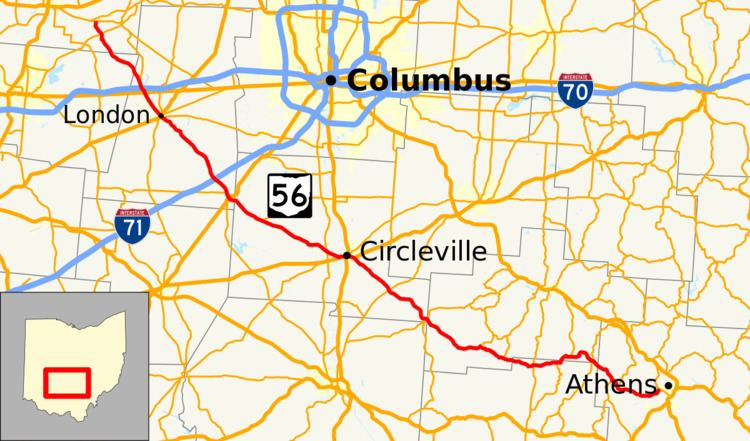 | ||
State Route 56 (SR 56) is a west–east state highway in central Ohio. Its western terminus is at SR 29 near Mutual, and its eastern terminus is at SR 682 in Athens.
Contents
Map of OH-56, Ohio, USA
Route description
SR 56 travels in a generally northwest-southwest direction in an arc around the southwestern side of Columbus. As of 2012, no part of SR 56 is included within the National Highway System.
History
The route of SR 56 between Mutual and Laurelville has been included within the state highway system since 1912. In 1923, the many numbered routes were unified as SR 56 running along the route it continues to run today. By 1926, the route was extended east from its end in Laurelville to Athens running along the same route it has currently.
References
Ohio State Route 56 Wikipedia(Text) CC BY-SA