
Existed: 1962 – present North end: SR 14 in Edinburg Constructed 1962 | Length 69.81 km | |
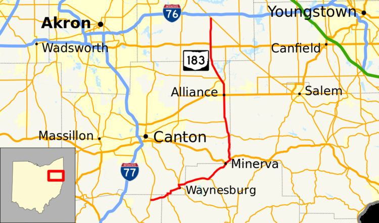 | ||
State Route 183 (SR 183) is a north/south state Highway in Eastern Ohio. Its southern terminus is SR 800 near East Sparta and Magnolia, and its northern terminus is SR 14 in Edinburg about 10 miles (16 km) southeast of Ravenna.
Contents
Map of OH-183, Ohio, USA
History
Prior to the present State Route designated as 183, a previous State Route 183 existed in Lucas County. Its northern terminus was the Ohio-Michigan Line at Whiteford Road, running south along Secor Road and Byrne Roads to its southern terminus at S. Detroit Avenue and S. Byrne Road. This route had been decommissioned by the 1950s.
Between the 1950s and 1960s, the route between Minerva to Alliance was designated route 80. Route 183 was eventually certified in 1962.
References
Ohio State Route 183 Wikipedia(Text) CC BY-SA