
Intercommunality Côte d'Albâtre Area 4.57 km² | Region Normandy Canton Ourville-en-Caux Population (2006) 178 Local time Thursday 5:45 AM | |
 | ||
Weather 6°C, Wind NE at 5 km/h, 90% Humidity | ||
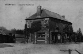
Oherville is a commune in the Seine-Maritime department in the Haute-Normandie region in northern France.
Contents
Map of 76560 Oherville, France
Geography
A very small farming village in the Pays de Caux, situated some 30 miles (48 km) northeast of Le Havre, at the junction of the D131 and D105 roads and in the wooded valley of the river Durdent.
History
The origin of the name is from the Germanic man's name ‘’Odardus’’ and from the Latin ‘’villa’’.
The commune is made up of the union of two hamlets, Oherville, first mentioned in 1240 and Auffray, mentioned in 1040.
The existence of a feudal motte indicates the presence of a medieval castle on the site. The first seigneurs of the place are mentioned in 1170. In the Middle Ages it was a dependency of the Duchy of Longueville. Oherville was a fiefdom under the lordship of Veauville until the 16th century.
The village’s position by the banks of the Durdent river led the construction of a number of mills. These were used for various processes, from grinding corn to the pressing of oil and the production of linen from flax. Traces of some of these mills can still be found.