
Basin size 6,649 km (2,567 sq mi) Discharge 130 m³/s Source elevation 2,600 m Mouth Po | Length 280 km Basin area 6,649 km² Source Corno dei Tre Signori Country Italy | |
 | ||
Main source Corno dei Tre Signori, Prealpi Orobiche, Lombardy
about 2,600 m (8,500 ft) River mouth Po, near Torredoglio, province of Mantua | ||
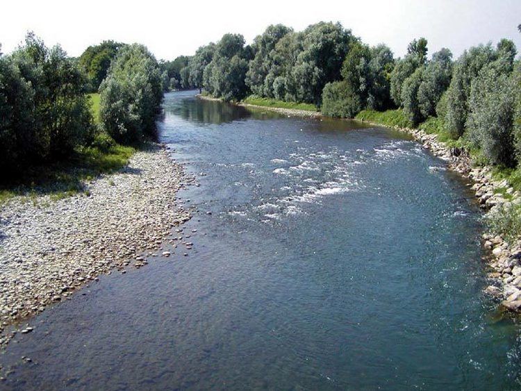
The Oglio ([ˈɔʎʎo]; Latin Ollius, or Olius; Lombard Òi) is a left-side tributary of the Po River in Lombardy, Italy. It is 280 kilometres (170 mi) long.
Contents
Map of Oglio, Italy
OverviewEdit
The Oglio is formed from the confluence of two mountain streams, the Narcanello from the Presena Glacier, in the Adamello group and the Frigidolfo, originating from Lake Ercavallo, in the Corno dei Tre Signori, part of the Stelvio National Park. The streams merge near Pezzo di Ponte di Legno.
It flows in a southwest direction, through Valcamonica and enters into the Lake Iseo at Costa Volpino. It leaves Lake Iseo at Sarnico and, after traveling a zone of moraine deposits, it joins the river Po at Torredoglio, not far from Cesole and Scorzarolo, in the province of Mantua. Its drainage basin, which corresponds to the region of Valle Camonica, covers 6,649 square kilometres (2,567 sq mi). It is part of the larger Po-Adige basin.