
District None Population 3,029 (Oct 2016) Local time Thursday 10:28 AM | Region Kantō Area 104.4 km² Prefecture Tokyo | |
 | ||
Time zone Japan Standard Time (UTC+9) City hall address Nishimachi, Chichi-jima, Ogasawara-mura, Tōkyō-to100-2101 Website www.vill.ogasawara.tokyo.jp Weather 18°C, Wind NE at 18 km/h, 64% Humidity | ||
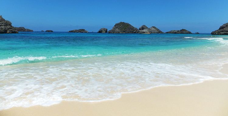
Ogasawara (小笠原村, Ogasawara-mura) is a village (or, more accurately, a rural municipality) in Ogasawara Subprefecture, Tokyo Metropolis, Japan, that governs the Bonin Islands, Volcano Islands and three remote islands (Nishinoshima, Minami Torishima and Okinotorishima).
Contents
Map of Ogasawara, Tokyo, Japan
History
In 1940, five municipalities were created in the islands, which had been unincorporated before, two on Chichijima, two on Hahajima, and one on Iwojima.
Both villages of Kita Iwo Jima became part of the newly created Iwojima municipality in 1940:
Geography
The municipality consists of the following groups and single isolated islands:
The southernmost (uninhabited) group is known as the Volcano Islands. 700 km further south is Okino Torishima, and 1,900 km further east is Minamitorishima.
The population of the municipality resides on Chichi-jima (pop. about 2300) and Haha-jima (pop. about 500). The administration and village hall is located in the village of Omura on Chichi-jima. In addition, there is an air base with 400 soldiers on Iwojima of the Volcano Islands.
Education
Ogasawara Village operates the island's public elementary and junior high schools.
The Tokyo Metropolitan Government Board of Education operates Ogasawara High School on Chichi-jima.