
Length 177 mi (285 km) Trailheads SedburyPrestatyn | Season All year Designation National Trails | |
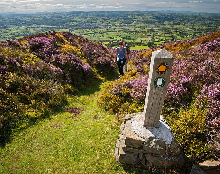 | ||
Offa's Dyke Path (Welsh: Llwybr Clawdd Offa) is a long-distance footpath following closely the Wales–England border. Opened in 1971, it is one of Britain's National Trails and draws walkers from throughout the world. Some of the 177-mile (285 km) route either follows, or keeps close company with, the remnants of Offa's Dyke, an earthwork, most of which was probably constructed in the late 8th century on the orders of Offa of Mercia. However, the dyke does not go over the Black Mountains but follows the current Wales-England border along the Hatterall Ridge.
Contents
Map of Offa's Dyke Path, Knighton LD7 1AL, UK
Walking
Traveling south to north, starting by the Severn Estuary at Sedbury, near Chepstow and finishing at Prestatyn on the north coast, the walk will take an average walker roughly 12 days to complete. Following a man-made border and ancient monument, rather than natural features, the dyke path crosses a variety of landscapes. The route crosses the Black Mountains, the Shropshire Hills, including the many ups and downs of the 'Switchback', the Eglwyseg moors north of Llangollen and the Clwydian Range.
It passes through, or close to, the towns of Chepstow, Monmouth, Abergavenny, Hay-on-Wye, Kington, Knighton, Montgomery and then in and around the North Wales towns and villages of Llangollen, Llandegla, Clwyd Gate, Bodfari and Dyserth.
The half-way point of the path is marked by the Offa's Dyke Centre in Knighton (52.3458°N 3.0517°W / 52.3458; -3.0517 (Offa's Dyke Centre)). There used to be around 600 stiles along the route, but many of these have now been replaced by kissing gates.
Promotion
Various bodies on either side of the border are collaborating on a sustainable tourism partnership, a principal focus of which is Walking with Offa, both on the trail but also in what has been dubbed Offa's Country i.e. in a corridor along the border.