
District Oberaargau Elevation 580 m Postal code 3367 | SFOS number 0985 Local time Wednesday 11:17 AM Population 593 (31 Dec 2008) | |
 | ||
Surrounded by Bleienbach, Bollodingen, Hermiswil, Leimiswil, Oeschenbach, Rütschelen, Seeberg, Thörigen, Ursenbach, Wynigen Weather 7°C, Wind NE at 6 km/h, 76% Humidity | ||
Ochlenberg is a municipality in the Oberaargau administrative district in the canton of Bern in Switzerland.
Contents
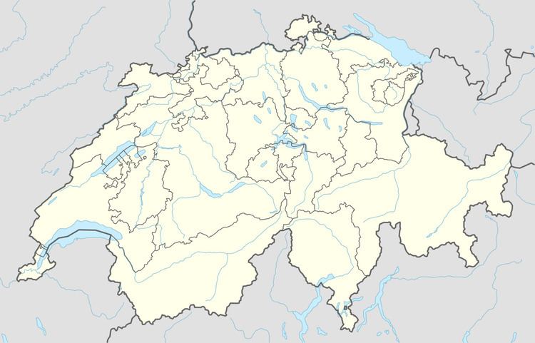
Map of Ochlenberg, Switzerland
History
Ochlenberg is first mentioned in 1612 as Ochliberg.
Geography
Ochlenberg has an area, as of 2009, of 12.13 square kilometers (4.68 sq mi). Of this area, 7.61 km2 (2.94 sq mi) or 62.7% is used for agricultural purposes, while 3.93 km2 (1.52 sq mi) or 32.4% is forested. Of the rest of the land, 0.52 km2 (0.20 sq mi) or 4.3% is settled (buildings or roads), 0.02 km2 (4.9 acres) or 0.2% is either rivers or lakes.
Of the built up area, housing and buildings made up 2.5% and transportation infrastructure made up 1.7%. Out of the forested land, 31.3% of the total land area is heavily forested and 1.1% is covered with orchards or small clusters of trees. Of the agricultural land, 31.2% is used for growing crops and 29.2% is pastures, while 2.4% is used for orchards or vine crops. All the water in the municipality is in rivers and streams.
Demographics
Ochlenberg has a population (as of 31 December 2015) of 573. As of 2007, 1.0% of the population was made up of foreign nationals. Over the last 10 years the population has decreased at a rate of -11.9%. Most of the population (as of 2000) speaks German (99.4%), with French being second most common ( 0.5%) and Russian being third ( 0.2%).
In the 2007 election the most popular party was the SVP which received 65.6% of the vote. The next three most popular parties were the CSP (9.9%), the SPS (6.8%) and the Green Party (6.6%).
The age distribution of the population (as of 2000) is children and teenagers (0–19 years old) make up 25.6% of the population, while adults (20–64 years old) make up 54.3% and seniors (over 64 years old) make up 20.1%. In Ochlenberg about 79.9% of the population (between age 25-64) have completed either non-mandatory upper secondary education or additional higher education (either university or a Fachhochschule).
Ochlenberg has an unemployment rate of 0.55%. As of 2005, there were 212 people employed in the primary economic sector and about 67 businesses involved in this sector. 4 people are employed in the secondary sector and there are 3 businesses in this sector. 9 people are employed in the tertiary sector, with 4 businesses in this sector. The historical population is given in the following table: