
Elevation/(average value of) 314 m (1,030 ft) Area 20 km² | Established 1447 Time zone EET (UTC+2) | |
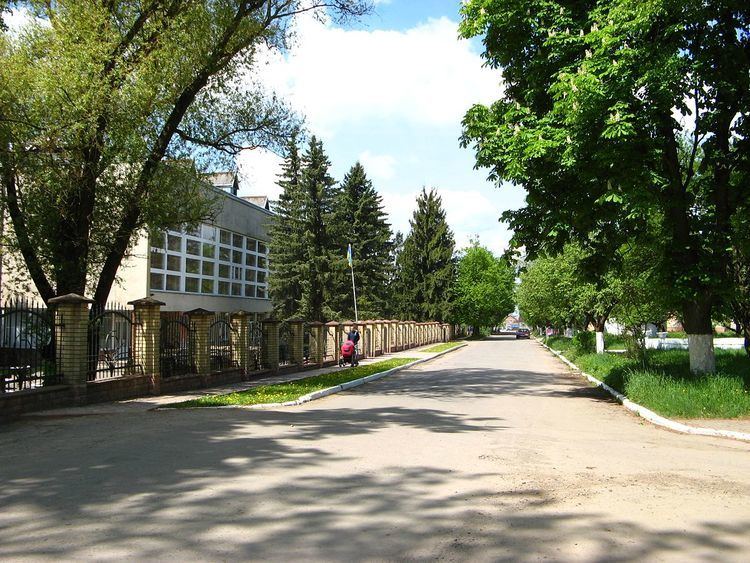 | ||
Obroshyne (Ukrainian: Обро́шине) is a village in Pustomyty Raion, Lviv Oblast in western Ukraine.
The population of the village is about 4186. Local government is administered by the village council.
Contents
- Map of Obroshyne Lvivska Ukraine
- Geography
- History
- Religious buildings
- Attractions
- Notable residents
- References
Map of Obroshyne, Lvivska, Ukraine
Geography
Obroshyne is located along Highway M06 (Ukraine) (), which goes from Kiev to the Hungarian border near Chop. It is 16 kilometres (9.9 mi) from the regional center, Lviv, 8 kilometres (5.0 mi) from the district center, Pustomyty, and 274 kilometres (170 mi) from Chop. The village of Basivka is 4 kilometres (2.5 mi) away.
History
The first written mention of the village of Obroshyne dates to 1447. In 1456 King Casimir IV Jagiellon of Poland gave the estate to the Roman Catholic Archdiocese of Lviv.
Religious buildings
Attractions
The village contains the following national heritage sites:
In addition, Obroshyn dendropark is of national importance.