
 | ||
Obretenik Bastion (Bulgarian: рид Обретеник, ‘Rid Obretenik’ \'rid o-'bre-te-nik is the ice-covered buttress rising to 1800 m at the northeast extremity of Herbert Plateau on Danco Coast in Graham Land, Antarctica. It is situated between upper Blériot Glacier and upper Cayley Glacier, and has steep and partly ice-free west, north and east slopes.
Contents
The buttress is named after the settlement of Obretenik in Northeastern Bulgaria.
Location
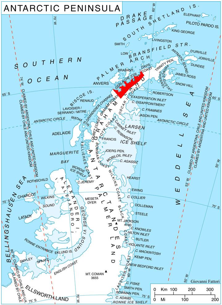
Obretenik Bastion is located at 64°29′38″S 60°59′55″W, which is 17.3 km southeast of Brabazon Point, 10 km south of Mount Morton, 14.45 km southwest of Mount Berry, and 6.85 km north of Molerov Spur on Nordenskjöld Coast. British mapping in 1978.
Maps
References
Obretenik Bastion Wikipedia(Text) CC BY-SA