
District Auranagabd PIN 824124 Elevation 99 m Local time Wednesday 10:57 AM | State Bihar Time zone IST (UTC+5:30) Telephone code 91-6328 Area 24 km² ISO 3166 code ISO 3166-2:IN | |
 | ||
Weather 31°C, Wind W at 10 km/h, 29% Humidity | ||
Obra is a small town just 15 km away from the district headquarters on NH-98 (Garwa-Patna). Obra is also a headquarters of Obra block, under Daudnagar sub-division and a block of 144 villages having population of 220,000 (Census 2001). In Obra block there are 20 panchayats each averaging 6 villages. Block stretched in north, east and south and demarcated by Daudnagar, Rafiganj, Aurangabad blocks and in west it is Rohtas district. Mahatma Gandhi and Bihar Vibhuti Dr. Anugraha Narain Sinha came to Obra during national independence movement.
Contents
- Map of Obra Bihar 824124
- Geography
- Demography
- Economy
- Markets
- Places of interest
- Education
- Health services
- Transportation
- Hospitality
- References
Map of Obra, Bihar 824124
Situated on the confluence of Punpun and Adri river, the rolling topography of the town is typical, spread on the plain of the Son river bed known for its very fertile land.
Geography
Obra is located in the eastern part of India at 24.87°N 84.34°E / 24.87; 84.34. The town is surrounded by very pleasant rivers Punpun from the western and northern part and By River Adri in Surkhi village from eastern side. River Son is flown just 8 km. west from the town. Obra is situated 114 km. from the Capital city of Bihar, Patna. Obra is situated in plain of River son, so the land is very fertile by nature. It is not very far away from Ratan hillock of Magadh range and Chhotanagpur plate of Palamu (Jharkhand). Flow of river from three sides make it a beautiful picturesque place. It is considered as world's most fertile land for rice.
Demography
As per census 2001, population of Obra town is 12096. Males constitute 54% of the population and females 46%. Total number of male population is 6,375 and female constitutes 5,721. And the total number of households in town are 1691. Obra has an average literacy rate of 58%, lower than the national average of 59.5%: male literacy is 63% and, female literacy is 53%.
Economy
The economy of Obra is mainly dependent on agriculture. the vast track of fertile land in the region supports most of the families economically. Obra is also famous as the rice bowl of Magadh region. from here the trading of food grains to all part of Bihar and Jharkhand makes Obra a big grain mandi (market) where more than 50 traders are operating their businesses. Bel road is hub of such trading activities . Obra is also well known for the production of Kaleen (carpets). The tradition of weaving beautiful and unique carpets in the town dates back to the 15th century.there is a village called Koriepur village, which is havingrich history of kaleen production.In recent time this industry is now in dying stage. the Kaleen Udyog is currently managed by the state government. Kambal (blanket) industry in Obra is another industry supported by Government. A processing plant for raw blanket is established here for 50 years and the trade of these kambals is dated back to 100 of years. These sectors is giving employment to more than 1000 of people.
Markets
There is too much shops in obra.The major shops are:-
1) Agarwal Vastralya 2) Rupam Dresses 3) pardarshi fashion 4) Rajgharana
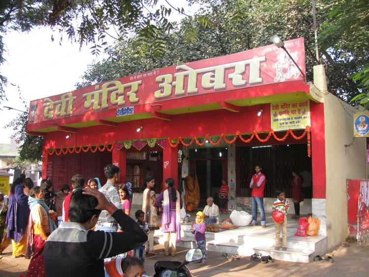
Places of interest
Education
There is no facilities for college education in Obra, so students of this region depends for college education to District Town Auranagabad. But there are few good schools are here-
Health services
Particularly in Obra, Health facility are very good in comparative to other blocks in Aurangabad District. Government hospital in Obra is very well managed. It is located near to Bel more on NH-98. The hospital has emergency wards and facility of night treatment is also catered over here. Apart from the government hospital some of very renowned Physicians (Doctors) of the District are serving the local population. Few of these are:
More than 20 medical halls are serving the need of locals here. Some of them are:
Transportation
Road
Obra town lies on NH-98 and just 14 km from NH-2 (Grand Trunk Road), So the connectivity of town with all major cities in state as well as all part of district is very good. Obra lies in between District town Aurangabad and Subdivision town Daudnagar with equi distance of 15 km each on NH so both town are connected by many buses, auto and trekers. Long distance such as Ranchi, Jamshedpur, Bokaro, Dhanbad, Daltonganj and other part of Jharkhand are directly connected with daily buses and for Patna (114 km) more than dozens of buses plying apart from many Tata Sumo and Tata Wingers.
Rail
Obra is well connected by Indian Railways through entire nation. Just 4 km from the town New Delhi-Howrah main Grand Chord line passes. Nearby station of Obra town is Anugrah Narayan Road station is just 5 km from the town so there are more 50 train including express and passenger trains passes daily. Near about dozen of trains for National Capital Delhi and the same number of trains are available for Kolkata are commuting daily. A.N.Road Station is just 69 km from Gaya and 135 km from Varanasi. Most of the express trains are halting here except Rajdhani exp. So it is well connected with all part of the state as well nation.
Air
There is no direct connectivity with air services but nearest International airport is Bodhgaya (70 km) and Domestic is Patna (114 km).
Hospitality
There are few lodges over here but not in good condition for staying so it is better to stay in Aurangabad (15 km).