
 | ||
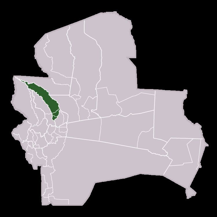
Obispo Santistevan (or: Santiesteban) is one of the fifteen provinces of the Bolivian Santa Cruz department and is situated in the department's western parts. The province was founded on 2 December 1941, and its name honors Obispo Santistevan (1843–1931), famous supporter of the building of Santa Cruz Cathedral.
Contents
Map of Obispo Santistevan, Bolivia
Location
Obispo Santistevan Province is located between 16° 02' and 17° 24' South and between 63° 02' and 64° 15' West. It extends over a length of 280 km from Northwest to Southeast, and up to 45 km from West to East. The province's border to the neighbouring provinces in the East and Northeast is formed by Río Grande.
The province is situated in the Bolivian lowlands and borders Ichilo Province in the Northwest, Sara Province in the Southwest, Ignacio Warnes Province in the Southeast, Ñuflo de Chávez Province in the East, and Guarayos Province in the Northeast.
Population
The population of Obispo Santistevan Province has increased by 75% over the recent two decades:
Division
The province comprises three municipios: