Admin. region Schwaben Elevation 791 m (2,595 ft) Population 7,211 (31 Dec 2008) | Time zone CET/CEST (UTC+1/+2) Local time Wednesday 4:22 AM | |
 | ||
Weather 4°C, Wind NE at 8 km/h, 94% Humidity Points of interest Hochgrat, Buchenegger Wasserfälle, Sommerrodelbahn Hündle, Skilifte Sinswang, Rindalphorn | ||
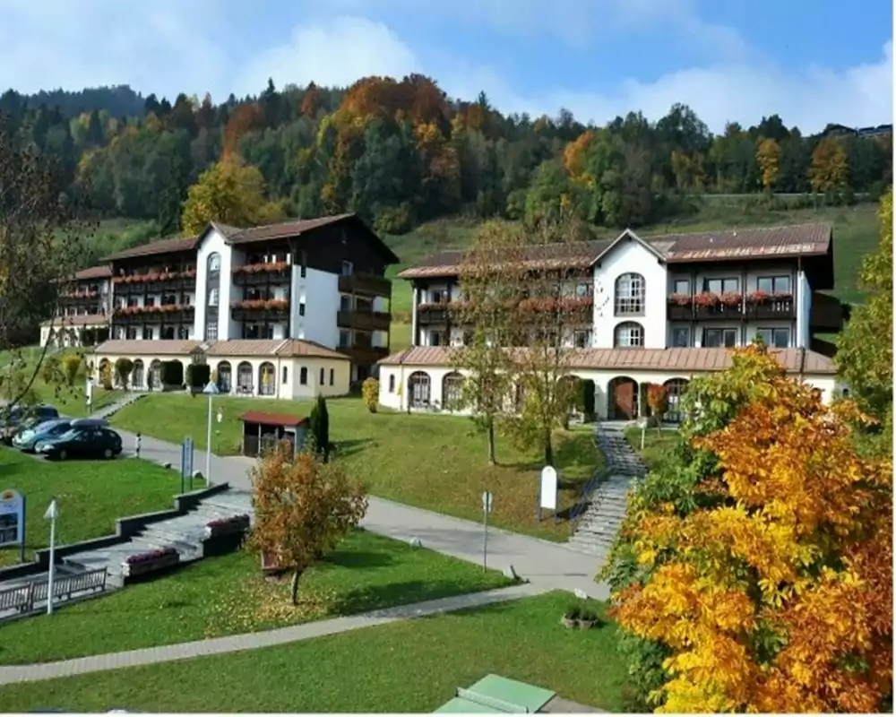
Oberstaufen is a municipality in the district of Oberallgäu in Bavarian Swabia, Germany, situated on the B 308 road from Lindau to Immenstadt.
Contents
Map of Oberstaufen, Germany
History
It is first mentioned as Stoufun in AD 868. Historically in Swabia (Alemannia), it became part of Bavaria in 1805 with the Peace of Pressburg.
As a result of a marketing campaign by the Oberstaufen tourism industry, Oberstaufen became the first German town for which Google Street View was made available on November 2, 2010.
Activities
References
Oberstaufen Wikipedia(Text) CC BY-SA
