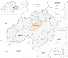
Country Switzerland Postal code 7134, 7137 Elevation 1,281 m District Surselva Region | Canton Graubünden Area 70.11 km² Sfos number 3988 | |
 | ||
Surrounded by Website www.obersaxenmundaun.swiss SFSO statistics | ||
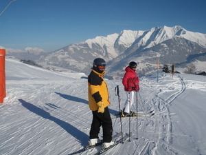
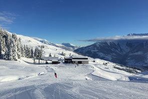
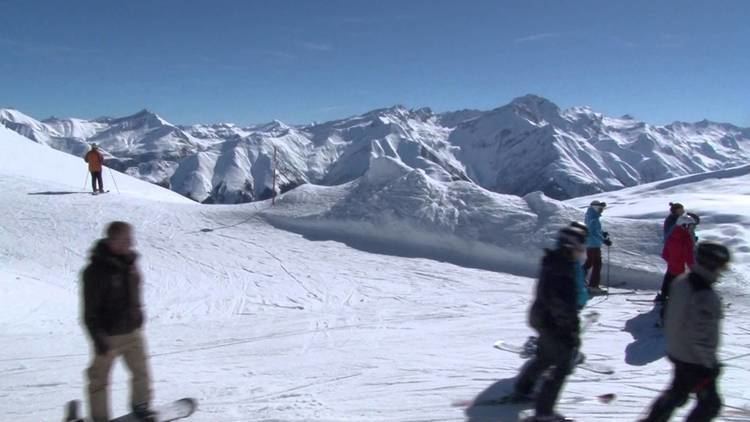
Skiregion obersaxen mundaun lumnezia in der surselva
Obersaxen Mundaun is a municipality in the Surselva Region in the Swiss canton of Graubünden. On 1 January 2016 the former municipalities of Obersaxen and Mundaun merged to form the new municipality of Obersaxen Mundaun.
Contents
- Skiregion obersaxen mundaun lumnezia in der surselva
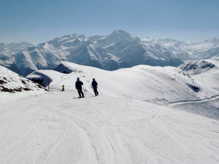
- Ski obersaxen 2012
- Obersaxen
- Mundaun
- Geography
- Demographics
- Historic Population
- References
Ski obersaxen 2012
Obersaxen

Obersaxen is first mentioned in 765 as Supersaxa though this is from a copy which dates from later. In 956 it was mentioned as Supersaxa, and in 1227 as Ubersahse.
The current settlement was founded in the thirteenth century, when a group of German-speaking Walser settled the plateau. Right in the heart of the mainly Romansh-speaking Surselva (which encompasses the valley of the Vorderrhein, along with all of its side valleys, among others the Val Lumnezia), Obersaxen is an island of German-speakers.
Mundaun
Mundaun was formed on 1 January 2009 through the merger of Flond and Surcuolm.
Geography
Obersaxen Mundaun has a combined area, as of 2006, of 70.11 km2 (27.07 sq mi).
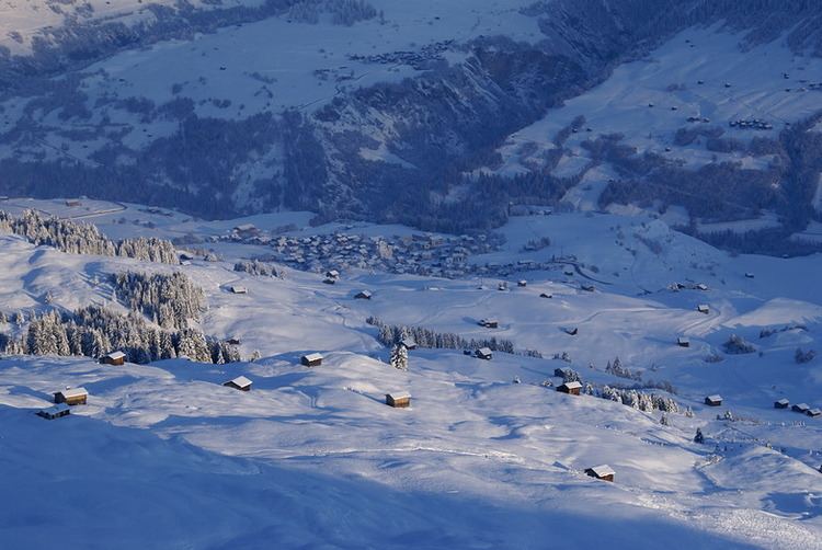
The new municipality is located in the Lugnez sub-district of the Surselva district, after 2017 it was part of the Surselva Region. It is located on the northern face of the Mundaun mountain chain and the Obersaxen high plateau south of the Vorderrhein river. It consists of a number of widely scattered settlements throughout the municipal area.
Demographics
Obersaxen Mundaun has a population (as of December 2015) of 1,146
Historic Population
The historical population of Obersaxen and the two former municipalities that made up Mundaun, Flond and Surcuolm, is given in the following chart: