
Elevation 320 m (1,050 ft) Area 10.93 km² Population 604 (31 Dec 2008) Dialling code 06788 | Time zone CET/CEST (UTC+1/+2) Local time Wednesday 4:09 AM Postal code 55758 | |
 | ||
Weather 3°C, Wind SE at 5 km/h, 83% Humidity | ||
172 oberreidenbach bei idar oberstein
Oberreidenbach is an Ortsgemeinde – a municipality belonging to a Verbandsgemeinde, a kind of collective municipality – in the Birkenfeld district in Rhineland-Palatinate, Germany. It belongs to the Verbandsgemeinde of Herrstein, whose seat is in the like-named municipality.
Contents
- 172 oberreidenbach bei idar oberstein
- Map of Oberreidenbach Germany
- Location
- Neighbouring municipalities
- Municipal council
- Mayor
- Coat of arms
- Buildings
- Recreation
- Regular events
- Economy and infrastructure
- Education
- References
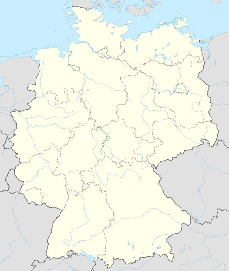
Map of Oberreidenbach, Germany
Location
The municipality lies on Bundesstraße 270, in a side valley of the Upper Nahe, between the Palatinate and the Hunsrück. Oberreidenbach lies right at the edge of one of Germany’s biggest military drilling grounds, the Truppenübungsplatz Baumholder, which for decades has been used mainly by the Bundeswehr and the United States Army.
The municipality has at its disposal a municipal area of 1 093 ha, of which 277 ha is wooded, and another 412 ha of which is occupied by the military drilling ground.
Neighbouring municipalities
Oberreidenbach’s neighbours are Mittelreidenbach, Schmidthachenbach and Sienhachenbach. The nearest major towns are Idar-Oberstein and Kaiserslautern.
Municipal council
The council is made up of 12 council members, who were elected by majority vote at the municipal election held on 7 June 2009, and the honorary mayor as chairman.
Mayor
Oberreidenbach’s mayor is Peter Gleßner, and his deputies are Reiner Weiß and Stefan Becker.
Coat of arms
The municipality’s arms might be described thus: Per pale gules a fess between in chief a lion’s head sinister erased and in base an oakleaf slipped palewise, all argent, and countercompony azure and Or.
Buildings
The following are listed buildings or sites in Rhineland-Palatinate’s Directory of Cultural Monuments:
The Evangelical church dates from 1903, and it is believed that the Catholic church dates from the mid 13th century; since 1927 it has been under monumental protection.
Recreation
The municipality has at its disposal a club hall with a stage, a bar and a sideroom. Up on the Brockelberg is a pavilion with a grilling pit and a lookout at an elevation of some 510 m above sea level. There are also many hiking trails in Oberreidenbach. There are clubs, too: football, table tennis, aerobics, the fire brigade, the Landfrauen (“Countrywomen”), the beautification club and the music club, among others.
Regular events
Oberreidenbach has its Maifest on 1 May, and a kermis on the second weekend in June.
Economy and infrastructure
Oberreidenbach has two small grocer’s shops, a bakery and a commercial area with a company in mechanical engineering, a nursery, a swimming pool builder and a car dealership. There are four farmers, although only one works the land full-time.
There is also a new residential development zone called Auf dem Rain with a children’s playground, a sport ground and a small playing field with plastic covering.
Education
There is one primary school in Oberreidenbach, Grundschule Reidenbachtal.