
Population 2,459 (2011 census) LGA(s) Oberon Shire Elevation 1,113 m Local time Wednesday 2:06 PM | Postcode(s) 2787 Mean max temp Mean min temp Postal code 2787 | |
 | ||
Weather 23°C, Wind W at 13 km/h, 69% Humidity Points of interest Oberon & District Museum, Oberon Dam, STONE HEDGE | ||
Oberon is a town and local government area (see Oberon Shire) in the central tablelands of New South Wales, Australia. The main industries are farming, forestry and wood products. The town usually receives snowfall during the winter months, owing to its high altitude. At the 2011 census, Oberon had a population of 2,459 people.
Contents
Map of Oberon NSW 2787, Australia
It is the birthplace of Greens politician Bob Brown, Ken Sutcliffe, former Penrith Panthers player Mark Booth. Oberon is located near Jenolan Caves and the Kanangra-Boyd National Park.
History
Fish River Creek Post Office opened on 1 January 1855 and was renamed Oberon in 1866.
Commercial area
Oberon's main streets are Carrington Avenue-Oberon Street and Ross Street. The town has several parks and sports facilities. Such parks include the Oberon Showground,Cunynghame Oval, Apex Park and The Hillary Camwich Memorial park. Oberon also has a museum on North Street. Oberon has a caravan park on Cunynghame Street off North Street, a hospital on North Street, a camping ground adjacent to the caravan park and a wood gallery on Oberon Street. Rotarys Lookout is located on Abercrombie Road and to the east of the town is the Blenheim State Forest which includes walking tracks.
Culture
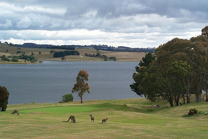
Fishing is a pastime possible at Lake Oberon and The Reef Reserve. Oberon also has a golf club off Hume Street.
Oberon is known for its two inns, the Big Trout Motor Inn and the Highlands Motor Inn.
South of the town is Lake Oberon, Oberon Dam and the Fish River. There is a picnic area at the dam and a reserve with walking tracks near the lake.
Rugby league football coach Craig Bellamy started his playing career with Oberon's team in the 1970s.
Transport
From 1923 to 1979, Oberon was served by a branch railway line noted for its very steep 4% gradients and very sharp 100 m radius curves. Following closure, that line was allowed to fall into disrepair, but has been under restoration by the volunteer organisation Oberon Tarana Heritage Railway since 2005.
Access
Climate
Oberon has a subtropical highland influenced (Cwb) oceanic climate (Cfb) with mild to warm summers, cool to cold winters averaging 0 to 9C and evenly spread rainfall throughout the year. Frosts occur regularly during autumn, winter and spring. Because of its elevation, several snowfalls can be expected each year during winter. On an annual basis, Oberon receives 80.8 clear days.