
District Bautzen Elevation 240 m (790 ft) Area 9.84 km² Population 2,197 (31 Dec 2008) Dialling code 035938 | Municipal assoc. Großpostwitz-Obergurig Time zone CET/CEST (UTC+1/+2) Local time Wednesday 3:32 AM Postal code 02692 | |
 | ||
Weather 5°C, Wind N at 3 km/h, 90% Humidity | ||
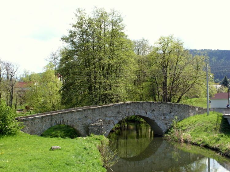
Obergurig (Sorbian: Hornja Hórka) is a municipality in the district of Bautzen, in Saxony, Germany.
Map of Obergurig, Germany
The municipality is part of the recognized Sorbian settlement area in Saxony. Upper Sorbian has an official status next to German, all villages bear names in both languages.
The villages of Singwitz (Sorbian: Dźěžnikecy), Mönchswalde (Mnišonc), Lehn (Lejno), Schwarznaußlitz (Čorne Noslicy), Großdöbschütz (Debsecy) and Kleindöbschütz (Małe Debsecy) belong to the municipality.
References
Obergurig Wikipedia(Text) CC BY-SA