
Country United States GNIS feature ID 898828 Area 5.41 km² Population 149 (2010) | Time zone Mountain (MST) (UTC-7) Elevation 1,298 m Local time Tuesday 6:55 PM Area code 575 | |
 | ||
Weather 28°C, Wind SW at 19 km/h, 9% Humidity | ||
Oasis is a census-designated place in Sierra County, New Mexico, United States. Its population was 149 as of the 2010 census.
Contents
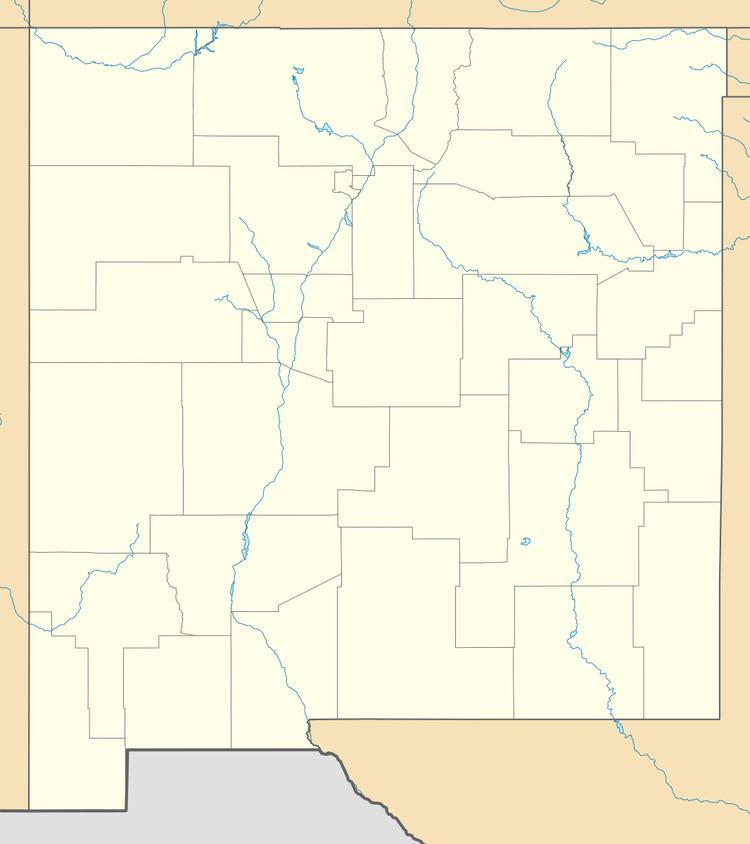
Map of Oasis, New Mexico 87931, USA
Geography
Oasis is located at 32.927701°N 107.316417°W / 32.927701; -107.316417. According to the U.S. Census Bureau, the community has an area of 2.090 square miles (5.41 km2), all of it land.
While Interstate 25 passes through the community, it does not have an exit; the community is about halfway between exits 59 and 63. New Mexico State Road 187 also passes through the community. Caballo Lake is located to the east of the community.
References
Oasis, New Mexico Wikipedia(Text) CC BY-SA