
Local time Tuesday 2:50 PM | County Nzara | |
 | ||
Weather 35°C, Wind NE at 10 km/h, 31% Humidity | ||
Afternoon village walk taking patients from clinic to hospital nzara south sudan
Nzara is a town in South Sudan. It lies 15 mi (24 km) to the northwest of Yambio by road.
Contents
- Afternoon village walk taking patients from clinic to hospital nzara south sudan
- Map of Nzara South Sudan
- Middle of nzara south sudan
- Military Base
- References
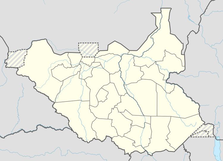
Map of Nzara, South Sudan
Nzara was the industrial center of the Zande Scheme during the Anglo-Egyptian colonial period. The Government of South Sudan has since 2006 intended to revive the agro-industrial complex.
Nzara was the site of the world's second recorded outbreak of the Ebola virus disease. In five months starting in June 1976, 151 people in the region died of the disease.
Middle of nzara south sudan
Military Base
Nzara served as the operational headquarters of the 4th Division of the UPDF, the Ugandan contingent in Operation Rudia II, part of the regional campaign military against the Lord's Resistance Army. After the LRA defeat at Camp Swahili the UPDF ceded overall control of the operation to the FARDC and moved the bulk of its forces to Nzara in March 2009. About 2000 UPDF troops remained in the DRC, north of Faradge, and Nzara-based attack helicopters supported them in engagements against increasingly concentrated LRA forces. When LRA Major General Caesar Acellam was captured in May 2012 he was flown from Djema, Central African Republic to Nzara where he gave a televised interview.
Nzara now houses one of four “Combined Operations Fusion Centers,” or COFCs, in which intelligence and operations are coordinated among the anti-LRA coalition.