
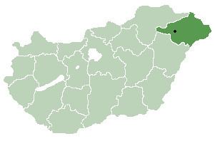
Time zone CET (UTC+1) Area 55.36 km² Local time Tuesday 12:42 PM | County Szabolcs-Szatmár-Bereg Postal code 4361 Population 3,105 (2015) Area code 42 | |
 | ||
Weather 16°C, Wind S at 8 km/h, 57% Humidity | ||
Nyírbogát is a village in Szabolcs-Szatmár-Bereg county, in the Northern Great Plain region of eastern Hungary.
Contents
Map of Ny%C3%ADrbog%C3%A1t, Hungary
Geography
It covers an area of 55.36 km2 (21 sq mi) and, in 2015, had a population of 3105.
References
Nyírbogát Wikipedia(Text) CC BY-SA