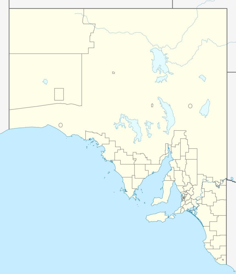
Area 24.62 km² | Established 25 August 2011 | |
 | ||
Managing authorities See also Protected areas of South Australia | ||
Nuyts Archipelago Wilderness Protection Area is a protected area located in the Nuyts Archipelago off the west coast of Eyre Peninsula in South Australia within 10 kilometres (6.2 mi) to 75 kilometres (47 mi) south-west of Ceduna. The wilderness protection area was proclaimed in August 2011 under the Wilderness Protection Act 1992 in order to protect ‘important island habitat for species such as the stick-nest rat and brush-tailed bettongs (which are part of re-introduction programs) and species such as the carpet python and short-nosed bandicoot’ and habitat for ‘other notable species’ including the Australian sea lion and mutton birds. It was created on land both excised from the Nuyts Archipelago Conservation Park and land on Evans Island previously classed as unalienated Crown land with exception of a portion held by Australian Maritime Safety Authority for ‘lighthouse purposes’. The land excised from the Nuyts Archipelago Conservation Park comprised the following islands: Purdie Islands, Lound Island, Goat Island, Lacy Islands, Lilliput Island, Franklin Islands, Blefuscu Island, Egg Island, Freeling Island, Smooth Island, Dog Island, West Island, St Francis Island, Masillon Island, Fenelon Island and Hart Island. The Wilderness Protection Area is classified as an IUCN Category Ib protected area.
