Municipality Qaasuitsup | ||
 | ||
Nuuluk Island (old spelling: Nûluk) is an uninhabited island in the Qaasuitsup municipality in northwestern Greenland.
Contents
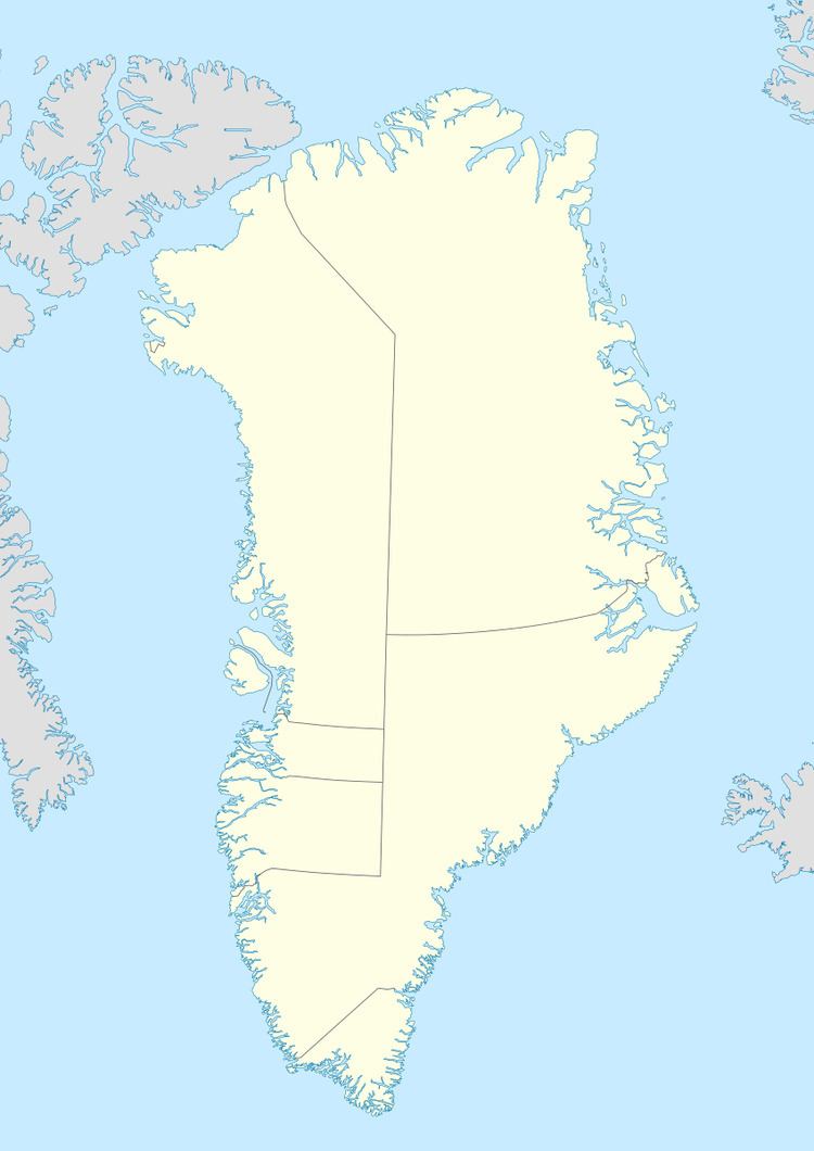
Map of Nuuluk Island, Greenland
Geography
Nuuluk Island is located in Tasiusaq Bay, in the north-central part of Upernavik Archipelago, on the shores of the inner reaches of Kangerlussuaq Icefjord, which in the northeast separates it from Giesecke Glacier on the mainland of Greenland.
The island is separated from Anarusuk Island in the southeast by a small Ikerasaarsuk channel. The inner waterways of Tasiusaq Bay separate it from Qallunaat Island in the northwest, Saattorsuaq Island in the west, and Aappilattoq Island in the south.
Coastline
The highest point on the island is a 390 m (1,280 ft) hill in the southern part of the island. The coastline of the island is undeveloped, with Iterlissuaq bay the only indentiation in the north.
