
Main source Poland180 m (590 ft) Length 100 km | Basin size 2,102 km (812 sq mi) | |
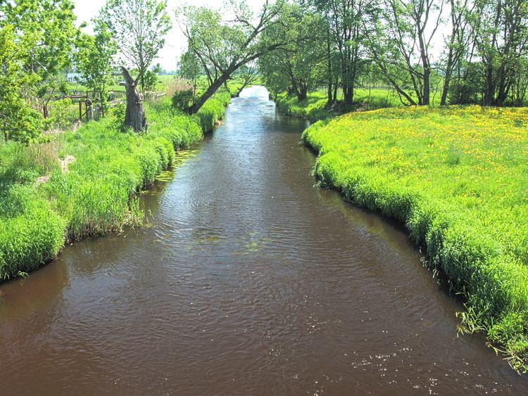 | ||
River mouth near Wojtkowice Stare on the Bug River | ||
The Nurzec [ˈnuʐɛt͡s] is a river in north-eastern Poland, a tributary of the Bug River. It flows through the geographical region known in Polish as Wysoczyzny Podlasko-Bialoruskie (the plateau of Podlaskie and Belarus). Administratively it lies within Podlaskie Voivodeship and Masovian Voivodeship.
Contents
Map of Nurzec, Poland
The 2,102 square kilometres (812 sq mi) drainage area is contained within the mezoregions known as Równina Bielska (the Bielsk Plain) and Wysoczyzna Wysokomazowiecka (the High Masovian Plateau).
The Nurzec rises in swamps south-east of Czeremcha near Stawiszcze close to the border with Belarus. Its confluence with the Bug River is close to the village of Wojtkowice Stare just south of Ciechanowiec.
The fall of the Nurzec is approximately 75 metres (246 ft) from its source elevation of approximately 180 metres (590 ft) above sea level, to its discharge elevation of 105.4 metres (345.8 ft).
TributariesEdit
Towns and villagesEdit
Major towns and villages lying on the Nurzec: