
Time zone WET (UTC+0) Elevation 71 m | Irish Grid Reference N704056 Local time Tuesday 5:36 AM | |
 | ||
Weather 1°C, Wind SW at 23 km/h, 92% Humidity | ||
Nurney (Irish: An Urnaí meaning "Oratory/prayer house/chapel") is a village in County Kildare, Ireland on the Tully Stream. It lies on the R415 regional road 8 km south of Kildare and is signposted from the M7 motorway at junction 13.
Contents
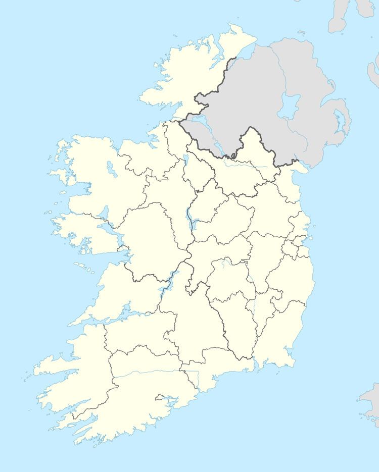
Map of Nurney, Co. Kildare, Ireland
The village has a church, a pub, a school, a shop, and two graveyards. A petrol station and chip shop opened in the village in recent times.
Demographics
In 2006, its population was recorded at 354 an increase of 48% from 2002 owing to an influx of settlers from Dublin, which lies some 60 km away.
Bus
South Kildare Community Transport's Newbridge-Kildare-Athy route serves Nurney on Mondays to Fridays with two services each way a day. The bus also serves Kildare railway station, the nearest station to Nurney, enabling journeys to/from many parts of Ireland.