Country Pakistan District Narowal Union Council Nurkot Area 250 ha Population 12,876 (2011) | Province Punjab Tehsil Shakargarh Established 1912 Local time Tuesday 10:30 AM Area code 0542 | |
 | ||
Weather 24°C, Wind NW at 5 km/h, 50% Humidity | ||
Nurkot (Urdu: نورکوٹ), (Punjabi: نورکوٹ) is a town in the northeast of the Punjab province of Pakistan. The city Narowal is the district and Shakargarh is the Tehsil of Nurkot.It is situated on the banks of Nala Baien, about 20–25 km from the Indian border.
Contents
- Map of Nurkot Pakistan
- History
- Language
- Government Educational institutions
- Main markets
- Important places
- Nearby areas
- References
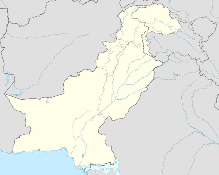
Map of Nurkot, Pakistan
History
Nurkot is a Town of Tehsil Shakargarh so the history is associated with the history of tehsil Shakargrah i.e. Under the Radcliffe Award, Shakargarh tehsil was transferred to Pakistan and attached with Sialkot District. However, with the creation of Narowal District on 1 July 1991, Shakargarh became tehsil headquarters was included as one of its tehsils. Shakargarh was the gateway of Mughals entering Gurdaspur and going to Delhi. Shakargarh was also the gateway to Kashmir and regarded as the rest point for travellers. One of the main reason for its popularity was and still is its rich and fertile land for wheat and top quality rice cultivation. One of the superior land for rice cultivation in world.
During British Rule Shakargarh Tehsil was an administrative subdivision of Gurdaspur District, in 1947 the majority of the district went to India with Pakistan retaining the tehsil of Shakargarh which then became a subdivision of Sialkot District.
Language
As per the 1998 census of Pakistan, Punjabi language is spoken by 95% population of the town. Other Languages include:
Government Educational institutions
Schools
