District Krishna Time zone IST (UTC+5:30) Population 14,176 (2011) Area code 0866 | PIN 521212 Local time Tuesday 9:37 AM Nearest city Vijayawada | |
 | ||
Weather 31°C, Wind S at 3 km/h, 66% Humidity | ||
Nunna is an outgrowth of Vijayawada and also forms a part of Vijayawada urban agglomeration. It is the headquarters of Vijayawada (rural) mandal in Vijayawada revenue division.
Contents
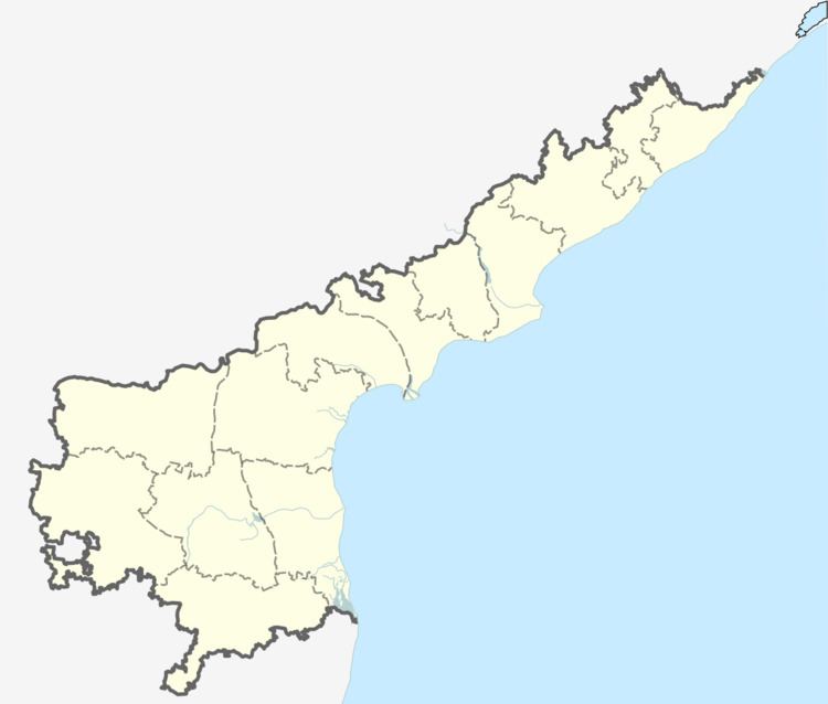
Map of Nunna, Andhra Pradesh 521212
Transport
Nunna lies on Nuzvid - Vijayawada state highway. Vijayawada is the nearest city to Nunna at about 10 km from Nunna. Gunadala, Mustabada railway stations are the nearby railway stations.
References
Nunna Wikipedia(Text) CC BY-SA
