
- elevation 0 ft (0 m) | - elevation 104 ft (32 m) | |
 | ||
Mouths | ||
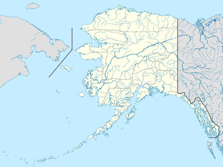
The Nugnugaluktuk River is a stream, 26 miles (42 km) long, on the Seward Peninsula in the U.S. state of Alaska. It flows east from within the Nome Census Area to Goodhope Bay, about 37 miles (60 km) northwest of Deering in the Northwest Arctic Borough. The bay is on Kotzebue Sound of the Chukchi Sea. The entire course of the river lies within the Bering Land Bridge National Preserve.
Map of Nugnugaluktuk River, Alaska, USA
The river's assigned name comes from the Inuit, as reported in 1903. In 1998, the Inupiat name was recorded as Liglignaqtuugvik.
References
Nugnugaluktuk River Wikipedia(Text) CC BY-SA